Milford-Day 8
As we leave the Divide Parking area and Keye Summit track, we turn towards Milford again, and see the solid rock mountains we have to drive through to get there. This area is often inaccessible in the winter months due to snow and avalanches. The government has an avalanche monitoring program and they sometimes they set charges via helicopter to bring them down with some degree of control.

The road has signs declaring the need for chains and warnings saying not to stop in avalanche zones during the winter months. Like if you didn’t stop, you could outrun an avalanche…

The Homer Tunnel is coming up, which a hardy group of men bored through the solid rock mountain between 1930 and 1952 , having stopped construction during WWII. It is a long one lane tunnel and we have to wait about 20 minutes for the light to tell us when it is safe to go through from our side. This light does not work after dark and I would not want to wonder if someone was coming. We do it in daylight. While we wait, Jeff has to go snow caving in the last of the snow.

If you look close at the picture below you will see the tunnel mouth we have just come through.

Then we stopped for a short walk up The Chasm and we caught a Kea bird in the process of taking the gasket off a rental car’s windshield. He could smell some candy left on the dash through a window that was cracked open, and he wanted it badly.

The Chasm was an easy walk in a deep and narrow gorge with a rushing snow-melt river that would eventually empty into Milford Sound.
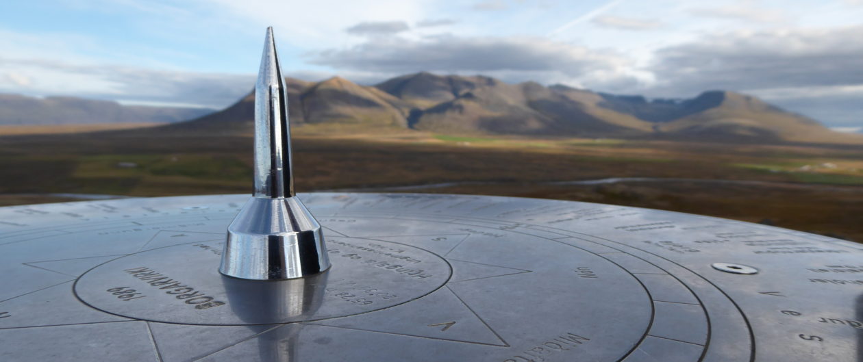
There were views along the trail of the gorgeous mountains.

When we got to the foreshore walk in Milford, the sun was getting low, the temperature was dropping, and it was windy.


It had been raining lately, so there were waterfalls on the fjord. We were glad we had done the boat ride across Lake Manapouri and Doubtful Sound so we were satisfied to just gaze on Milford from land. We started heading back the way we came towards the Homer tunnel again. we stopped just before it and another Kea came and visited us.

After stopping at various waterfalls on the way, we pulled into Knob Flats to spend another night and enjoy the wonderful hot showers.
In the morning we got a late start and as we headed down and out the valley we saw all kinds of buses headed in, so that was a good thing. For some reason we kept seeing Chinese tourists taking pictures of their young teenage daughters jumping in mid air whenever we passed a view point. It was strange. Normally we saw them taking selfies on a stick.
We knew we had finally left the park when there were green meadows and sheep everywhere again.

We passed clean glacial lakes with, I hear, some huge fish in them.

We are heading in the general direction of Queenstown, but as we get there we realize it is not our kind of place at all. It looks like a touristy shopping frenzy, so we drive right through it and go up a loop road behind there, stopping at Arrowtown instead. This is a very small, old gold mining town, much quieter, although still touristy. We did the museum, which was well put together in an old storefront, checked out one shop and had an ice cream cone before leaving.
We are looking forward to hiking to Rob Roy Glacier tomorrow. On the way though, we come across the first commercial Bungee jumping operation in the world and have to check it out. With photos, not jumping. I have no desire to put my back to that test, ever.


Apparently you can specify how far down you want to go when you bounce. One of the options is right into the water. At least it’s clean and they have a rescue raft ready.

We start seeing acres of Kiwi and Cherry Orchards under bird netting, and vineyards in the valleys.

We ended up at Lake Wanaka for the night, in an ugly campground on the hill overlooking the lake and lots of wind. We did not have high hopes.

Our parking spot was right next to the kitchen and shower block, so at least we did not have far to go.

Surprisingly, while we were eating our dinner, we met a foursome consisting of two Brits and their French girlfriends who were camping in tents across from us. They shared their wine and we told stories to each other until almost midnight. It was a blast. In the morning we all went our separate ways, ours to Rob Roy.

We didn’t do anything at Lake Wanaka itself, although there were flyers all over the kitchen bulletin board of all the local activities. New Zealand has some wild ideas of what fun is. There is Canyoning, which is throwing yourself down narrow whitewater canyons and hoping you emerge with no broken bones and still breathing air, for one. Then there are lot of jet boats on freezing cold water, jumping out of helicopters on skies, ice climbing, you name it. I would not have wanted to do some of these even when I was much younger.
As we drove towards our nice calm glacier hike, the hills were getting bigger and serious mountains with snow caps started to appear again.

We drove, and drove…the road turned to gravel…we drove through the creek nine times. There were sheep in the meadows and waterfalls coming down the sides of all the hills. The weather was perfect for a hike. And it wasn’t even windy.

Some of the creek crossings were pretty deep and splashed over the hood.

Most of them were fairly shallow. Finally, it was time to abandon the car and start hiking on this beautiful day. We loaded up our packs with food and water and headed up the trail.

There was a well built bridge over the river. A lot of folks hike this trail but it was not at all crowded on the trail and there were only cars in the parking area, no buses.


The trail starts climbing up the side valley and we take our first breather at the view over the main valley below.

We keep climbing. Rob Roy’s elevation is at 8,672 feet so we have a long ways to go. There is a glacial blue stream rolling over boulders on our left and layers of clothing are coming off as we steadily climb through shady forest.

We emerge out of the woods into clearings for great views of where we are hoping to go.

Every now and then we hear what sounds like thunder or maybe an explosion, which is a little scary. We start thinking about avalanches. There are signs periodically telling you how to react if there is one.

We finally come out into a wide open boulder field and see a thousand foot tall waterfall and Rob Roy behind it. That is when we hear another BOOM! and we see chunks of glacier calving off. It echos throughout the canyon for a good while. It is no danger to us since it is still so far away and on the other side of the gorge. It seems much closer until you try to hike to it.

It is the beginning of summer and there are wildflowers about. I think this plant is in the Ranunculus family. We stop for lunch at the end of the normal trail where there are about twenty people scattered about sitting on boulders and soaking up sunshine. There is a good view of the waterfall, the creek below, and the glacier, which is way across the gorge and still much higher than us.
Where Rob Roy was Calving
About once an hour chunks come off and bounce down the rock face with a powerful deafening sound.
We want to get closer to the main glacier, further back the valley, so we find a tiny remnant of path and continue up hill.

We have to wade through chest high gorse, and climb boulder trails, but it is a beautiful day so we don’t mind. We have finally gotten used to hiking and climbing after doing it so much, so it has gotten much easier.

The rock is a granite schist and comes in all kinds of colors .

We keep climbing and climbing without seeming to get any closer to the top, but every little bit is a new milestone.

We finally stopped when we realized that we could see just about all of it just over this rise. The glacier is obviously shrinking each year as a lot of them are these days. We made a little cairn of rocks to mark our spot, took some photos and headed back down the nonexistent path.

It was going to take us a long while just to get back to the marked trail.

So of course we had to hike down to the water to see just how cold it was before going back up to meet the main trail. I think it was actually colder than ice water.

Looking Back at Rob Roy
It is kind of amazing how far you can hike and still never reach the top.


After we made it all the way down to the wide river bottom in the main valley, we took a footbridge, while the sheep tip toed through the creek.

Notice one lamb’s banded tail has dropped off while the other is still holding on. We occasionally found some of these dropped tails while hiking…
According to the GPS, we had hiked seven and one half hours and did 12.9 miles with an elevation gain of only 1840 feet. No wonder we never reached the top. It was a great hike though, and we went further than most people do. After we got back in the van (and took our boots off!) we started back out the gravel road and came across these Kayakers that had just been dropped off by an outfitter. You would not want to fall into this cold water. They had a short trip, as we saw the outfitter waiting for their arrival ,down the road just a few miles.

The next thing we came to was cows wandering around in the road.

Then we reached pavement and there were sheep all over the road.

Then Elk which were fenced in… Finally we got back out on the main road and ended up getting to a camp in tiny Makaroa as night fell.
Thanks for reading and commenting on my blog. I want to share as much as I can without boring anyone to death.
-Wendy lee, writing at edgewisewoods
Impossible to be bored and the photos are really important to the story or you would have to spend a lot of verbal to explain things I can not imagine as my brain and body do not feel safe in mountains. Thanks.
We have 22,000 photos between us on this trip and I am only showing the most useful ones. It is fun to relive the trip as I go through all the photos and listen to my recorder. It is like being there all over again, only a whole cheaper and without the horrible flights.
Nope. You’re not boring anyone. Are the photos from the GoPro? They’re stunning!
Thanks Jami, Glad you are not bored. The photos I have been showing on the south Island have been from my regular camera. I took some with the Go Pro but they would need editing for any body to watch them due to operator inexperience. I have some good ones when we get to the North Island though, that I used the go pro for. Coming soon…