Roaring Plains
Tom, Jeff, and I, planned a hike out in the Dolly Sods area of the Monongahela National Forest over Veterans Day weekend. My chore person had plans over the weekend too, so we backed up our trip to leaving Thursday afternoon and coming back on Saturday. The weather report was calling for it to be a wet, nasty, cold day Saturday, so we were hoping to beat the weather. The hike Jeff mapped out was about 15 miles of trails on the Roaring Plains section of the Dolly Sods Wilderness, at elevations over 4000 feet. We were hoping for some good long range views from up there and to just plain enjoy being out in the mountains.
We drove out Route 50 west of Winchester and then took Route 257 south through Wardensville and up to the newish four lane of Route 55 west. There was still some fall color scattered about on the hills and the exposed rock layers in the road cuts look folded up and scrunched like a giant blanket. The skies were an intense bright blue and the air so clear coming down the hill into Moorefield that we could easily see all the windmills way out on the ridge alongside the Mt Storm power plant. It tends to be too hazy to see that far during hot summer days, but in the fall the humidity lifts up and blows away on the wind.
We all agreed that the windmills look cool out there on the ridge and are way nicer to look at than the cloud-belching, coal fired, electric plant right next to them. Every now and then a lazy, arcing blade would catch a flashing sliver of light. It is hard to believe they are actually moving over 100 miles an hour out on the tips. Some people complain that bats and birds get killed by them, but I think the birds are smart enough that they can learn to stay away, and as long as some idiot doesn’t leave bright lights on at night, the bats should not be hanging around to eat swarming insects. I have also heard complaints about noise, but all I hear is a gentle swishing sound when I get up close to them. I think they are beautiful.
Getting off at Moorefield, we picked up Route 220 south to Franklin and stopped for dinner at the Fireside Restaurant, next to Thompson’s Motel. They have pretty good food and we like to support local business. We were too full for pie, as usual, darn it. Full dark came on while we were eating and it was cooling off fast as we got back in the car. It was going to be a cold, clear night down in the twenties.
Our cabin is just a few miles out of town and while the guys hauled in our stuff, I started a fire in the wood stove. We were going to get up early in the morning so we could drive the hour out to the Monongahela National Forest and start hiking at first light, about 7 A.M. Daylight Savings time kicked in last weekend and it would get dark by 5:30 P.M. so we were careful to pack head lamps and flashlights in our packs just in case we didn’t make it out in time.
We got up at 5A.M, made coffee, ate some oatmeal, and started driving towards Seneca Rocks on Route 33 West. There we picked up Route 28 North to Jordan Run Road, took the first left onto Forest Road 19, which is a gravel road that climbs ever upward using switchbacks. The sun rose over the hill as we traveled the last couple of miles.

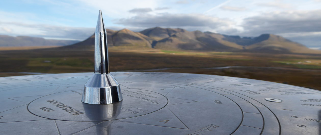
We parked at the gate to Forest Road 70, which is open now for hunting season and walked back up the hill a ways to the South Prong trail head. It took us a few minutes to get used to the cold but we warmed up pretty quick.
The weather above 4000 feet can turn bad quickly, and it is always colder up there, so we all wore our long johns and packed our rain/wind gear. It pays to be prepared for bad weather, something we have all learned the hard way. We also had maps, a compass and a GPS unit. Tom had his cell phone and was receiving text messages. Jeff is a map guy and loves to plan out routes so he always gets that organized in advance. I kind of go along for the ride and sometimes try to get us sidetracked if something looks interesting. We take lots of pictures.
Roaring Plains has boggy areas, low growing Spruce, Oak, Cherry, and Birch woods, huge blueberry patches, alpine meadows and sandstone conglomerate rocks. We drove most of the way up on the forest road so our actual hike would only gain us about 800 more feet.

At first, the trail was so easy it even had some wooden boardwalks spanning the boggy parts. Then it meandered through dense Rhododendron thickets we were glad we did not have to bush wack through. It had rained some the day before but we were able to keep our feet dry by hopping rocks.

When we started, it was 35 degrees F with a stiff breeze about 25 MPH and a few darkish clouds were beginning to scud across the ridge top from the west. They were moving pretty fast and didn’t seem to want to hang around. We were glad we wore our long johns and I was appreciating my insulated Ear Pops, felt hat and fleece gloves.

We wandered around all kinds of tiny side trails trying to get to the outer rim where the long views were and had to keep checking the GPS and the map to see if we were going the right way. There were tiny pathways crisscrossing all over, so it was not real obvious which way to go, but it was all pretty.

Finally we got to a well marked spot that led out to a great view. And right then, the clouds dropped down from the sky and fog rolled in and covered it all up.

It wasn’t raining and we weren’t getting wet yet, but we could not see anything much except the ground we were walking on. Lots of blueberry bushes for the bears though.

It got foggier and foggier and was windy and cold. It didn’t look like we would be seeing anything from Roaring Plains today. We decided to bail and try again on a sunny day.

We got to a gas pipeline right-of-way and followed it back to Forest Road 70 and back to the car.


Of course, by the time we got back to the car, there were breaks in the clouds. We had hiked only 9.1 miles and there was still a half day left. We ate our lunch sitting in the car and decided to drive to Bear Rocks, up at the northern edge of Dolly Sods, in hopes of more sun and actual views over the mountains.
Bear Rocks


We drove out what has to be the straightest gravel road in West Virginia, running along the ridge line between Tucker and Grant Counties.

It was much clearer up this way. Windy as usual, and cold, only about 40 degrees F. We were glad to finally get some great views.

We could see way up the ridge, looking North out of the Wilderness Area towards Mt Storm.


Looking South. Notice the stunted, wind blown, Spruce tree with branches all on the leeward side.
Bickle Knob
Next stop was going to be back down the mountain, out Rt 33 towards Elkins to the Bickle Knob observation tower overlooking the Otter Creek Wilderness Area.

It is hard to beat a view of these beautiful, limitless West Virginia mountains.

Even on a cloudy day this is a gorgeous place. The light keeps changing as the clouds move through. Climbing down off the tower we got back on Rt 33 and headed back East towards Franklin, stopping, as always, to admire the view to the North over Germany Valley.

Back for dinner at the Fireside, I got Chicken Parmesan, which came with a mixed greens salad and a little spaghetti. It was delicious. I am somehow getting off easy on this trip and only cooking breakfasts. Back at the cabin, we stoked the fire and watched “The Great Escape” before turning in for the night.
Heading Towards Home
We woke in the morning to 30 degrees, blue skies and no sign of the forecasted bad weather. I think it had arrived a day earlier, just for us. I cooked up some bacon, eggs and grits while the guys played darts and then we packed up.

We still had to get home Saturday, and figuring on catching a few more views on the way, we decided to travel east by way of Reddish Knob and the old fire lookout. The Shenandoah Valley was hung with the usual hazy smog in the distance, but it was still pretty.

The road up to where the tower used to stand is paved but steep and barely one lane wide. When we arrived there were three guys who had ridden up on mountain bikes. Impressive. A guy with a Coon dog box on his truck arrived after. His dog had initials on his ears and looked to be enjoying the ride.

The shades of blue in the distance…

Back on the road, near Dayton, we came up on an Amish buggy.

At the Spring House Tavern, in Woodstock, Virginia, I had an enjoyable Left Handed Milk Stout and we all had the lunch size Beef Vegetable Stew over Biscuits. We had to take leftovers home with us. Seems like we have done more eating than hiking this trip.
We drove out through scenic Mill Road to Tower Road, and climbed the metal tower, for great views to the East and to the West over the winding Shenandoah River.


The sun was getting low as we came through Fort Valley on the East side of the ridge and we stopped to search for fossils at a road cut that Tom remembered from way back.

We didn’t have a hammer but we managed to find a few bi-valve fossils.

The full Moon rose over the hill as the sunset painted the forest auburn red.


It was not long before the sun was gone and night took over, with the moon throwing long shadows. Time to get home and feed the critters.
Wendy lee,
writing at Edgewisewoods, Gardens and Critters
November 14, 2016