Compton Rocks is a cool geologic feature and a short hike off the Skyline Drive, near Front Royal Virginia. It is one of many short and sweet hikes in the Shenandoah National Park that you can do on a whim if you don’t have a lot of time.
Long ago volcanic activity squeezed basalt up through cracks in the earth to form these long, six sided shapes.
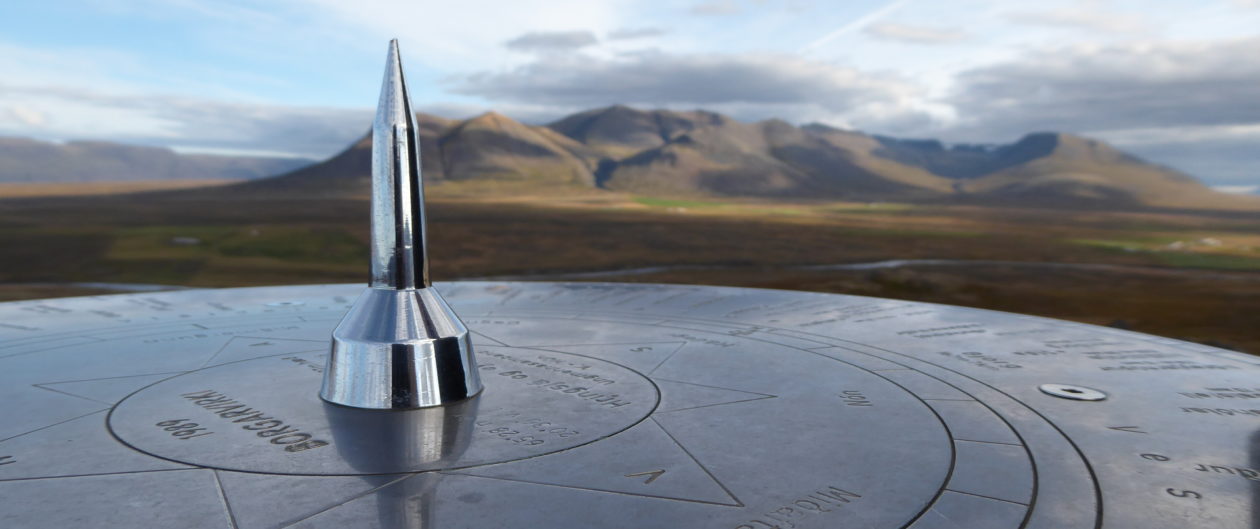
Columnar Jointing at Compton Rocks, Va
The rocks look like giant, extruded honeycombs, baked hard. The fairly level trail comes at the rock outcropping from the top side and you follow a small path down and around to get a good view.
On the downhill side of Compton Rocks
One way back up is to climb through the rubble slot canyon but there are easier routes.
Climbing up Compton Rocks
For a good view, follow the trail back the other direction to Compton Peak and stop at the roadside pull offs to gaze over the Shenandoah Valley below. While you are out that way you could go check out Skyline Caverns back down at the base of the mountain. Both are fun places to take kids.
It is February 20th, 2017 and we are not having winter. Out in the mountains of Pendleton County, West Virginia, the temperature is in the upper 60’s (F) in the valley and the 50’s where we are on Pike Knob. To get here you drive out Route 33 West from Franklin to a left on county road 18. A left branch of the road used to go through to Smiths Creek but has reverted back to being a privately maintained farm lane, even though the map we have says otherwise. The main road bears right , headed over the mountain, and was the main road between Franklin and Circleville years ago, before Route 33 was built. The road starts out narrow and graveled, until you pass the last farm gate and then it gets much rougher as it continues uphill. You will see trees posted with Nature Conservancy signs your right.
The Last Farm Gate on Knob Pike
I get so peaceful when traveling on gravel roads in the West Virginia Mountains. The hillside farms with their cows, sheep, and woven wire fences feel like home to me. Farm gates beckon me and I can imagine living there, tucked away from the world. We notice numerous springs and drive through a small stream as we wind upward towards an old fire tower site on Pike Knob.
Peaceful Mountain Road
About two thirds of the way up the hill, big rocks jutting out of the road bed, caused us to park the car and walk the rest of the way up. A lone Subaru made the same decision not far below us.
Jutting Road Rocks
As we climb, we see dark, rainy looking clouds starting to get hung up on the ridge and hope we can manage to stay dry on our hike to the 4300 foot summit. We didn’t bring our rain gear or packs on this short hike, just water bottles and cameras.
When we reach the low saddle, hanging between two knobs on the ridge, there is an intersection, where the old road bed drops down on the west side, a ridge path heads south and our trail winds to the North. The wind picks up and we can see the valley on the western side of the hill through the naked tree branches.
Valley View
Sunlight moves across the valley in small patches, illuminating a barn and fields in the distance. We continue veering to the right along the ridge, noting some recent tire tracks probably from whoever recently sawed the downed trees along the way.
Laurel Trail
We come to more yellow signage from the Nature Conservancy, asking vehicles to keep out, but allowing deer hunting and hiking, as we walk along a ever narrowing path through Mountain Laurels and pines.
Big Rocks on Pike Ridge
The trail in has not been very steep, and the temperature is warm when we are not exposed to the wind. Our jackets keep coming off and then going back on again.
Jacket Off, Jacket On
Just as we reach the highest point, we see a wooden fence and a guy sitting on the ground against it. We say howdy and he tells us he has not been up here in 30 years, when he dropped off supplies for a friend who was doing a long distance ridge hike. The fire tower is gone, with only the concrete foundation posts and the 1956 USGS survey marker left and Pines have grown up in that spot so there is no longer a view. There are a bunch of cool lichens growing on the trees though.
Lichens at Pike Knob
He tells us about the great views a little further on, out on the grassy knoll we had caught a glimpse of back in the saddle. We had no idea we would be able to get out there and are excited to go.
People Stile
We say goodbye and slide through the people stile in the fence, heading towards the open field, called Nelson Sods. There are no trail markers but you can follow an old roadbed depression out to the meadow if you drop down to the right a bit.
The View From Nelson Sods at Pikes Knob
View from Nelson Sods
The view is amazing and the clouds are scudding on by. We can see the backside of Nelson Rocks , one of the many fins of Quartzite and Tuscarora Sandstone that are seen standing edgewise on local ridges. Further in the distance, and obscured by the clouds today, is the highest point in West Virginia, Spruce Knob. Quite often, rains do not make it over that ridge to this, the North Mountain Ridge, so it tends to be much drier.
Looking Southwest from Pikes Knob
We enjoy the 360 degree views for awhile before heading back. Along the way we remember the wall of rock that was almost visible through the woods on our way up. There does not seem to be a trail that goes there so we head out cross country through the laurels and pines. It would have been easier if we were about the size of a fox. There were a few greenbriars and a lot of blueberry bushes along the way, but we finally emerged atop some gorgeous rocks with views to the southeast.
Conservancy Rocks Below Pikes Knob
More cross country, downhill over rocks, towards the old road, and we emerged near our car. On the way down we met another vehicle turning at the farm gate and we stopped to say howdy. It was a man showing a friend the back way into his farm. He was friendly and agreed that he was lucky to live here.
Coming Down the Mountain
The weather on the east side had cleared up and the skies were getting seriously blue as we came down the mountain.
Blue Skies in February
Then we saw a Cd disk flashing in the sun a little ways up the hollow where we crossed the little stream. I had to investigate, and since it was still Nature Conservancy land, we were allowed to hike here.
Rocks Along the Way
There was something of a path leading to a humongous rock outcropping and it was starting to look a little cavey.
Cave Entrance
I found a shallow cave that pinched out pretty quick but it had a large entrance and a cool window.
Cave Window
We hiked further up the draw against the base of the rocks, checking out all the little springs and looking up at the overhanging ledges. It is so much fun to explore a place we have never seen before. I was surprised to find a little group of invasive ladybugs under a rock.
Invasive Ladybugs on Pikes Knob
We could hear water gurgling underground that did not emerge until way down slope. At one point we found a dried up fish, tied by a string from a low branch. Bear bait? Then I found a just plain pretty rock.
Feldspar Rock on Pikes Knob
Next, we found a peacock feather tied with orange baling twine. Very strange. It was warmer here and hard to believe it was February as we scrambled over rocks and once again got in the car to leave.
Cabin on the Pike
Coming back down the mountain we appreciated the late day sunlight hitting this cabin.
Abandoned Homestead
Then we felt a little sadness for the abandoned homestead in the valley. Considering it was February though, we never would have expected such a pleasant day wandering around, exploring whatever came our way. It is so nice to be able to appreciate the peace and beauty of the West Virginia mountains.
On Saturday, February 4th, we were being lazy inside when I felt the need to get outside and take a walk. The temperature outside was hovering at about freezing but the air was fresh and the sky beautiful. Jeff was somewhat hesitant and slow to get a move on, but he gave in as usual when I suggested a spur of the moment hike. I wanted to go see Hagerstown’s Edgemont Reservoir which I had just been reading about online. Apparently, engineers had deemed the dam unsafe and they had drained the entire lake this past July. We had not been there in years and it was hard to imagine it without water.
We grabbed our day packs, and drove out through Boonsboro taking Rt 66 north to Rt 64 West at Cavetown. Here is where Jeff decided to go his way (the scenic route), instead of mine, so we did a big loop which followed Warner Hollow on a gravel road from the NE, arriving downstream at the reservoir and right back onto 491, not far from where we had left it.
The Frozen Creek in Warner Hollow
It was shocking to see the tall drainage control tower sticking up into the air at the dam end and just a small puddle of water around it,. I’ll bet the wildlife took awhile to adjust to the new habitat.
Empty reservoir with lonely drain tower
We decided not to hike there, since we basically just saw the whole thing by car. Instead we drove out to where the Appalachian Trail crosses the road a little North of there and parked on the shoulder of the road.
The first part of the trail was steep and had stones moved into place for steps in the steepest spots. Our heart rates and heavy breathing told us we needed to hike up hills more often.
Icicles were dripping down the rocks as we came closer to Raven Rocks. They looked like cave formations, with rim stone dams and bacon draperies, except clean and clear.
Icicles at Raven Rock
The rocks were large and impressive. I liked the zipper effect where one section had broken away.
Raven Rocks Zipper
We saw a couple of people and their Irish Setter out on the rocks but it was nice and quiet. I love hiking in winter. You avoid crowds and can see through the trees to the views beyond.
Raven Rocks
We checked out the rocks for a bit and then continued our climb.
View From Raven Rocks West
It leveled out when we reached the ridge top and walking was easy. There were glimpses of the big valley to the west but no clearings to get a good view. We came to an intersection branching off to a shelter one way and a spring in the other, but we stayed straight.
Raven Rock Intersection
About a mile or so in we met a hiker in full pack who was wondering how far to the shelter. We were glad we didn’t have to sleep outside tonight. Little too chilly for that. We were nice and warm while hiking along at a good clip, but cooled off fast when we stopped.
We figured the next view point would be at High Rock, where we would turn around and head back. When we got there it was full of loud people and more graffiti than I have ever seen in one place. Freshly painted. There is a road that leads right to it from the North and it is a party spot. Supposedly hang gliders launch from there and I would love to see that, but I imagine that would draw a huge crowd. We stayed just long enough to get a look at the view and got out of there.
High Rock View
White Tail Ski Across the Valley
We could see the Whitetail Ski Resort, in Pennsylvania, in the distance. All the snow is man made this year. We have yet to have a decent snow and I am beginning to think we won’t get one at all. Last year we had 42 inches in one storm. A foot would be nice. We might have to go out to Blackwater Falls, West Virginia for our snow fix.
Sundown on the Trail
The sun was getting low in the sky as we hoofed our way back along the nice level ridge. We made good time, which also kept us warm. It was only a 6.4 mile hike. There was a whole group of folks that we met on the way back who were staying at the shelter that night. Guess they would be keeping each other warm. I was looking forward to sitting by our fire again.